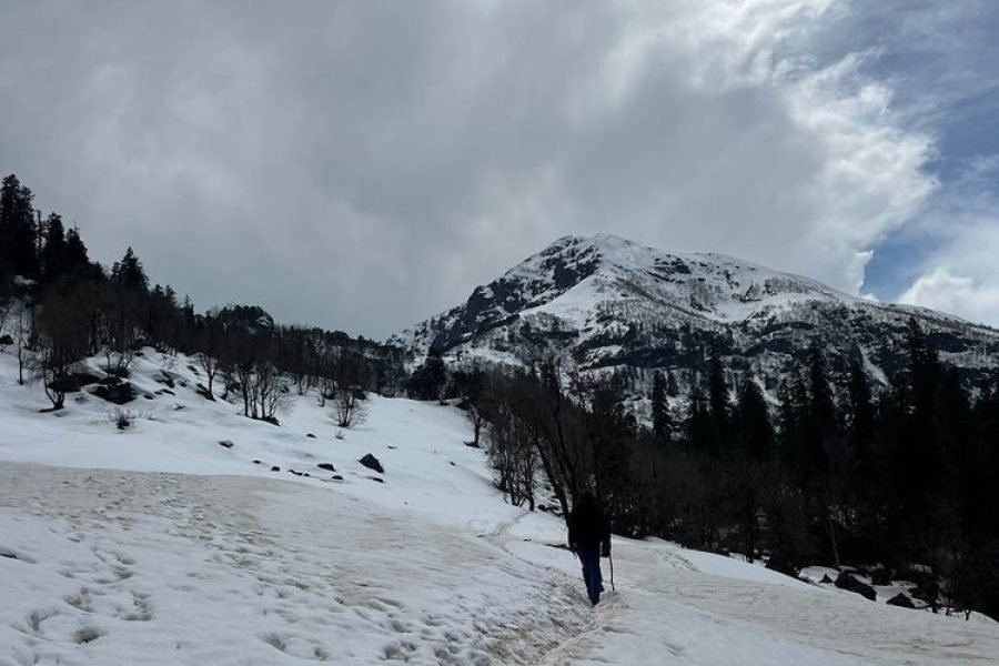
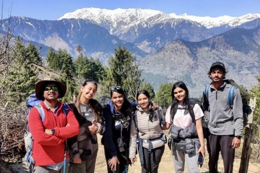
Trustindex verifies that the original source of the review is Google. I recently completed the Indrahar Pass Trek and I’m really glad I chose this trekking agency from start to finish, the experience was smooth, well-organized, and truly memorable although indrahar summit is a hard trial if you reach the summit then congrats
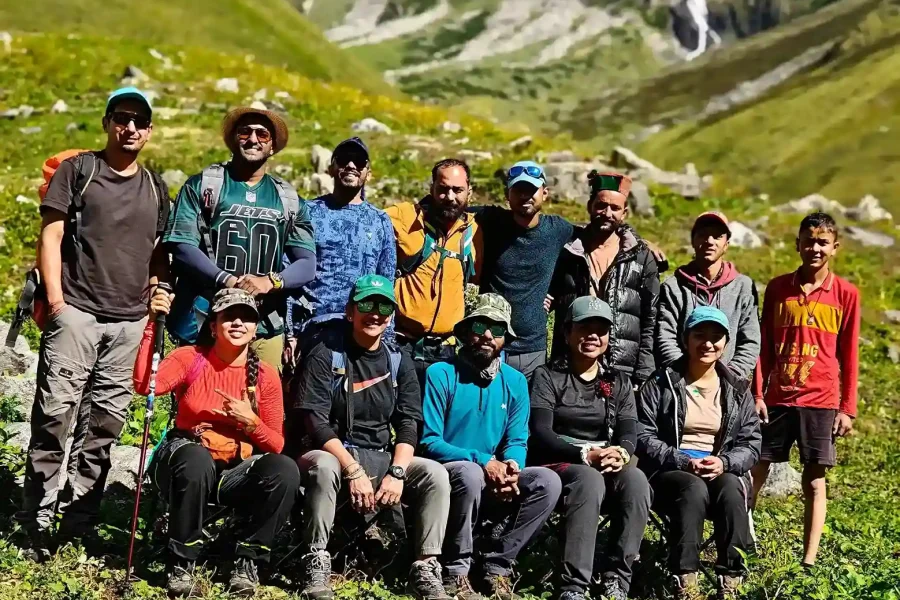
a special mention to Amrita Di, who was incredibly friendly, supportive, and approachable throughout the journey. she made sure everyone was comfortable and taken care of. Ravindra Bhaiya and Vivek Bhaiya, were extremely helpful and patient. They guided us carefully at every step, neither forcing us to take risks nor holding us back unnecessarily. They pushed us just enough to reach our true potential, and thanks to them, we managed to complete the trek with confidence and great memories although we didn't reach the summit as i mentioned it's very difficult trek to reach the indrahar summit
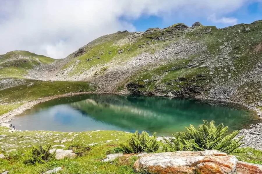
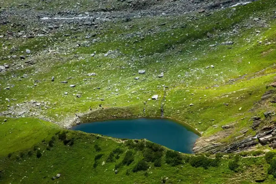
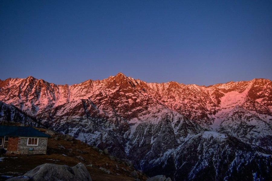
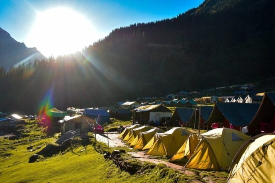
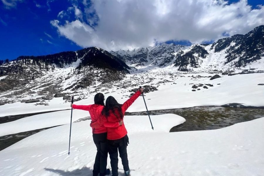
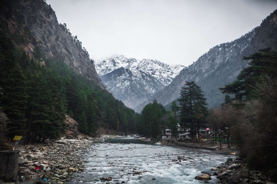
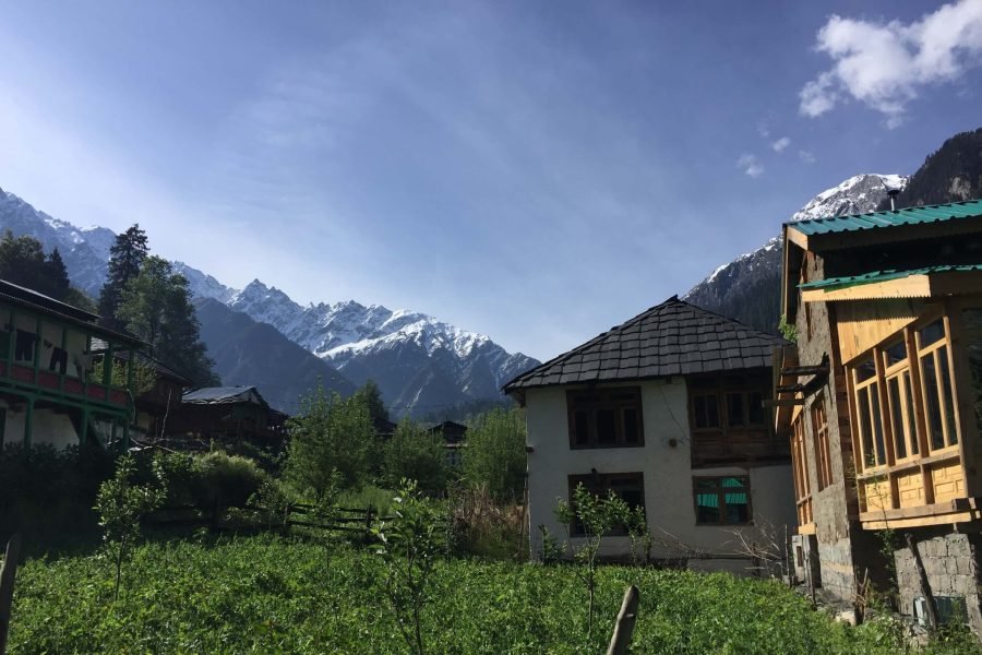
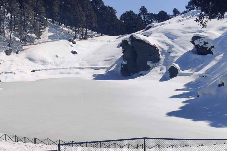
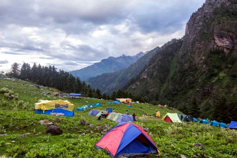
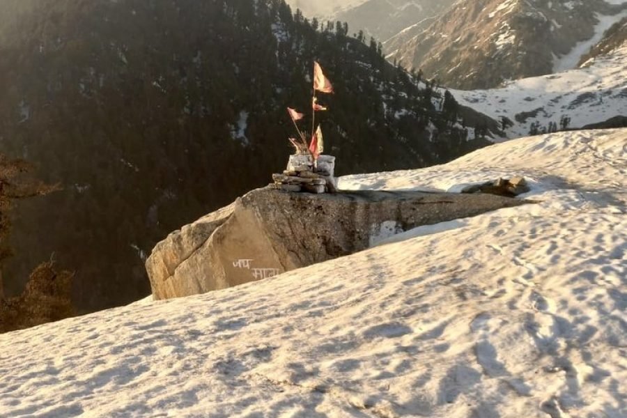
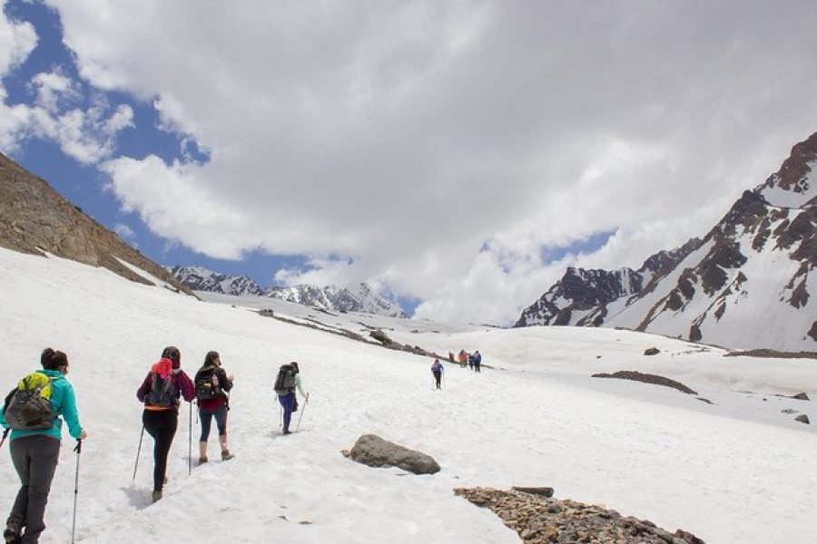
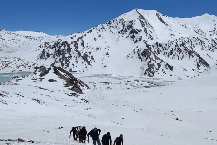
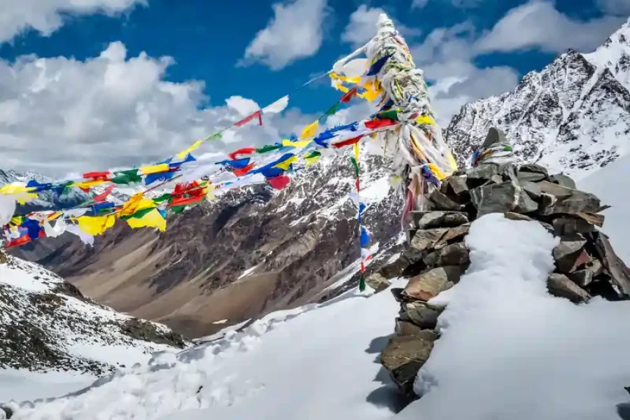
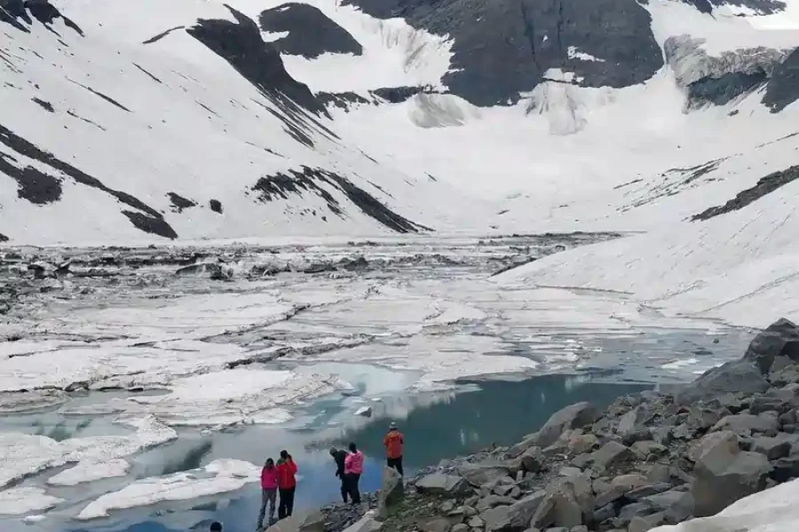
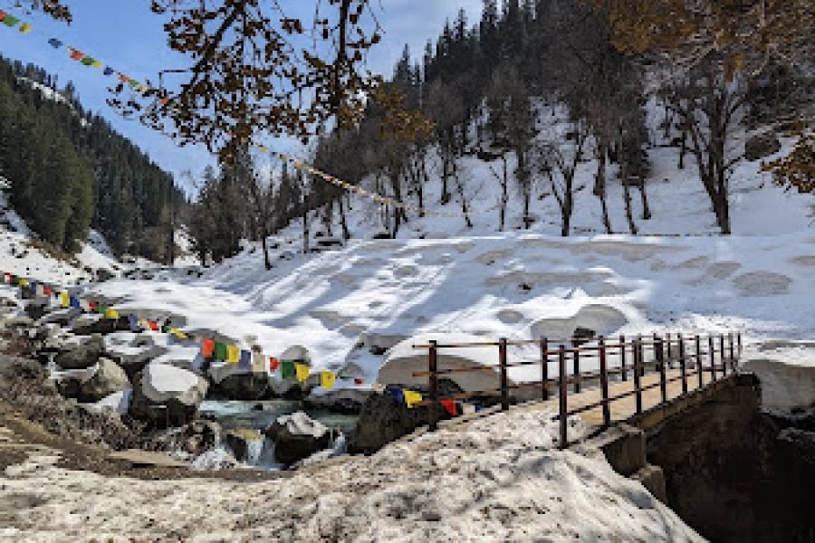
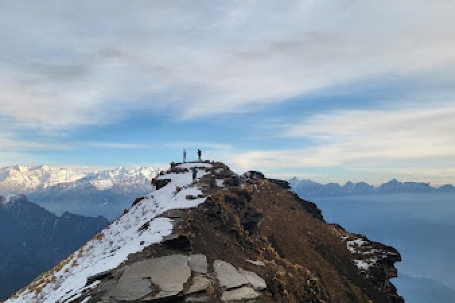
the route itself was beautiful — from Triund to Laka Glacier, Snowline, Mahesh Caves, and finally the Indrahar Summit. The views were breathtaking at every stage. The food was good too, considering the high altitude and tough conditions in the mountains almost
overall, it was a wonderful experience safe, well-guided, and full of beautiful moments thank youu will be back again